Vancouver Island: a quick introduction
You asked: tell me more about vancouver island
tell me more about vancouver island
Researched
Vancouver Island is British Columbia’s large Pacific island, not the City of Vancouver. It combines a provincial capital, working harbour cities, small coastal communities, farms, mountains, rainforest, and exposed ocean beaches. The easiest mental map is simple: Victoria and the south are more urban; the east coast is a chain of road-linked communities; the west coast faces the open Pacific; and the north feels much more remote.
The island is also the ancestral homeland of diverse First Nations. It is home to Coast Salish, Nuu-chah-nulth, and Kwakwaka'wakw Peoples, whose connections to these waters, forests, laws, and cultures long predate colonial settlement. The First Nations Health Authority identifies 50 First Nations communities in the island region. Visitors should learn whose territory they are in and follow local rules and protocols. [1]
What each part feels like
The south centres on Victoria, British Columbia’s capital. Nearby Goldstream Provincial Park shows how quickly city edges give way to forest: it has waterfalls, a river, Garry oak meadows, and Douglas fir and western red cedar trees, some more than 600 years old. [2]
The east coast is the main road corridor. Nanaimo is an important ferry gateway and a useful base for reaching other parts of the island. Farther north are Parksville, the Comox Valley, and Campbell River. Highway 19 continues to Port Hardy near the northern end, while Strathcona Provincial Park offers a rugged inland contrast to the coast. [3]

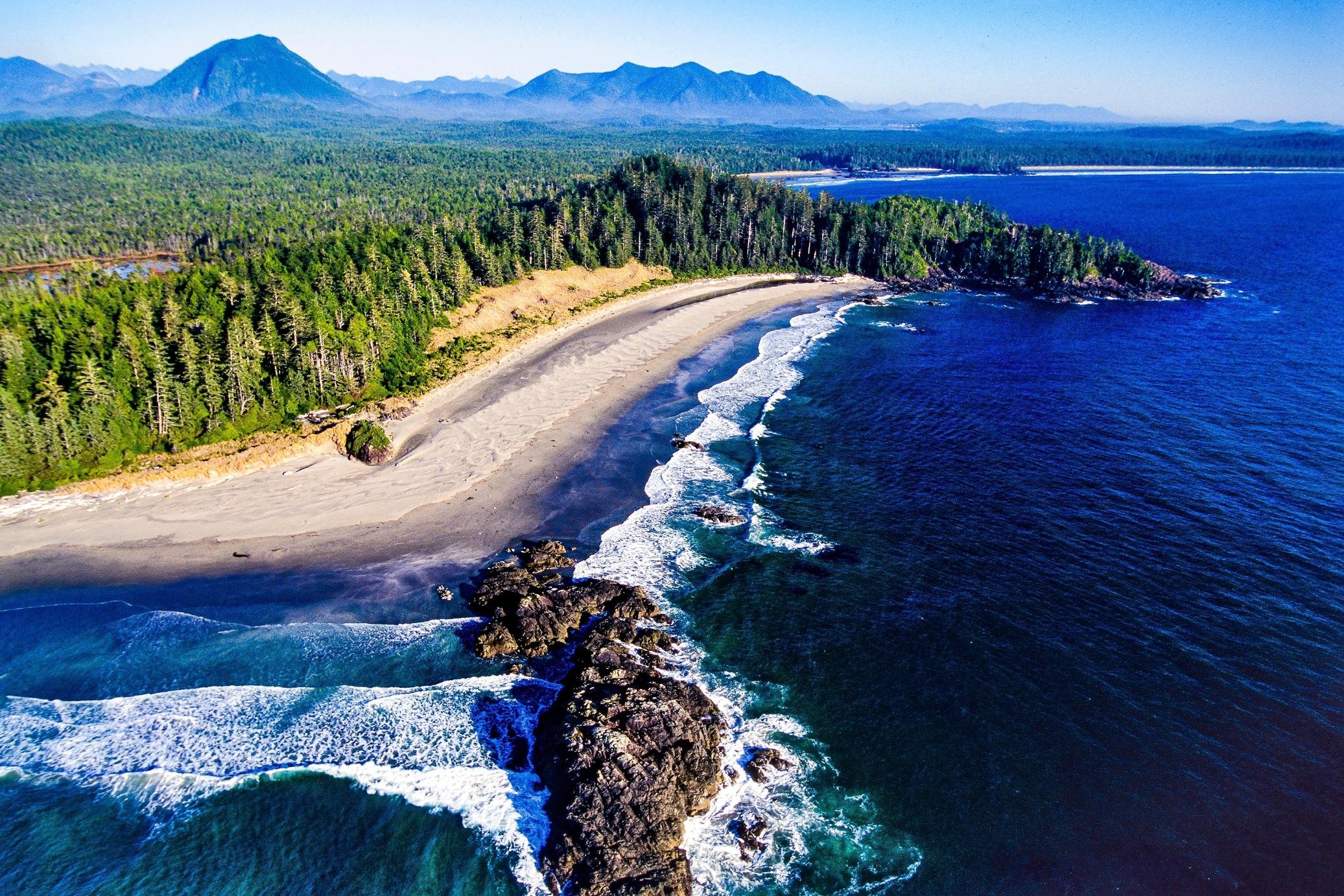
The west coast is where many people picture Vancouver Island most clearly. Around Tofino and Ucluelet, long sandy beaches meet thick temperate rainforest and the open Pacific. Pacific Rim National Park Reserve’s Long Beach area includes about 22 km of beach backed by coastal forest. This coast supports surfing, beach walks, paddling, and hiking, but weather and surf can be serious. [4]
The north and surrounding waters reward slower travel. Cape Scott Provincial Park and the North Coast Trail offer demanding coastal hiking. Johnstone Strait, between the island and mainland, has abundant marine life, including humpback whales, orcas, dolphins, and seabirds. Wildlife sightings are never guaranteed, so choose responsible operators and keep a respectful distance. [5]
A practical way to visit
Most visitors arrive from Metro Vancouver by BC Ferries. Main routes connect Tsawwassen with Swartz Bay near Victoria or Duke Point near Nanaimo, while Horseshoe Bay connects with Nanaimo’s Departure Bay. The Tsawwassen–Swartz Bay crossing is listed at about 1 hour 34 minutes, and Tsawwassen–Duke Point at about 2 hours. [6]
A car gives the most flexibility beyond Victoria and Nanaimo, especially for the west coast and north. Ferries can fill during holidays and other busy periods, so booking ahead is wise. Vehicles on the Horseshoe Bay–Nanaimo route must be booked and paid in advance in the Horseshoe Bay-to-Nanaimo direction. [7]
You can also travel without a car. BC Ferries lists a coach service between downtown Vancouver or Vancouver International Airport and downtown Victoria. Public transit exists around Victoria, but there is currently no public transit at Duke Point in Nanaimo. [8]
The key is not to treat the island as a day trip. Distances add up, roads are often two-lane, and conditions vary by season. Pick one or two regions, leave room for ferry timing and weather, and spend time in the communities along the way.
Sources
- 1.First Nations Health Authority fnha.ca
- 2.BC Parks: Goldstream Park bcparks.ca
- 3.Hello BC: Victoria to Port Hardy hellobc.com
- 4.Hello BC: Pacific Rim hellobc.com
- 5.BC Parks: Marine recreation bcparks.ca
- 6.BC Ferries: Departures and Arrivals bcferries.com
- 7.BC Ferries: Travel tips bcferries.com
- 8.BC Ferries: Public transportation, bus and coach bcferries.com